Happy Valley Vistas
Tussey, Nittany, Bald Eagle – Six mountains and the Allegheny Front traverse Happy Valley. All provide excellent opportunities to view picturesque valleys from constructed or happenstance vistas. Vistas can be hard-earned at the end of a rugged hike or a beautiful view that you discover while driving around the county.

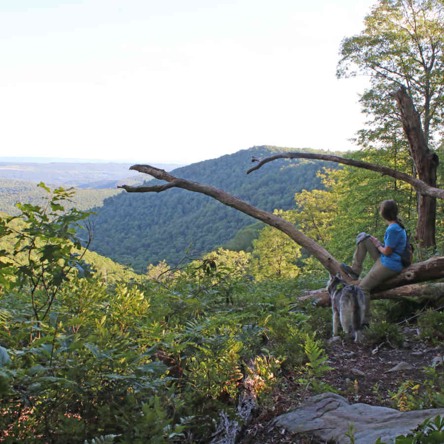
Lindera and Timber enjoy Ralph's Majestic Vista on the Allegheny Front Trail
- Photo by Mark Nale
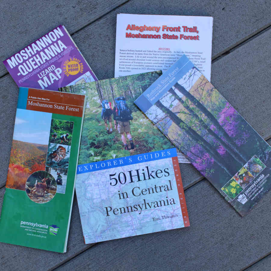
The highest elevations in the area can be found on the Allegheny Front. Unfortunately, there is no easily accessible vista to which you can drive. The best views are the vistas found on the Allegheny Front Trail. Ralph’s Majestic Vista is about a rugged 25-minute hike from where the trail crosses Underwood Road. Another 5-minute walk will take you to a second vista with a view better than the first. The AFT trail and Underwood Road are clearly marked on the free Moshannon State Forest map or on the Purple Lizard map of the same area.
While you are on top of the mountain, you can drive to a very different type of vista – a view across the Allegheny Plateau. Traveling northwest on Route 322, just as the 4-lane section of Route 322 ends, Sandy Ridge Trail (a gravel road) turns left (west). Approximately 3.3 miles from Rte. 322, the forest to the right opens and affords a look across the top of the Allegheny Plateau. On a clear day, you can see for miles.
Bald Eagle Valley lies between the Allegheny Front and Bald Eagle Mountain. My favorite Centre County views are of that valley as seen from I-99 as you drive north or south on the interstate. There are no pull-offs, so passengers will enjoy the view as you drive. A safer view, but not quite as good, can be found at the top of Bald Eagle Mountain while traveling old Route 322 at what locally is referred to as “Skytop Mountain Rd.” Use the I-99/Rte. 322 exit for Waddle west of State College and park at Skytop Chiropractic at the top of the mountain.

Helpful maps guides
- Photo by Mark Nale
If you like the Nittany Lions, why not hike their namesake mountain? Mount Nittany is a Happy Valley landmark, and seven vistas await people who hike to the top. The short walk to enjoy the Mike Lynch Overlook is approximately 0.7 of a mile in length on a white-blazed trail. Less than a mile, sure, but it climbs 650 feet in elevation. The hike is strenuous, but a beautiful view of the campus and Beaver Stadium rewards those who climb the mountain. The blue trail to the top is less strenuous, but longer. Once on top, gentle trails take you to six additional vistas – looking toward the Nittany Mall, Penns Valley, Boalsburg and others. The address for the trailhead at the base of the mountain in Lemont is 500 Mount Nittany Road, Boalsburg 16827. Maps are usually available at the trailhead.
The easiest to locate -- and most popular -- vista in Happy Valley is Jo Hayes Vista, located in Rothrock State Forest at the top of Tussey Mountain on Route 26 south of State College, about two miles south of Pine Grove Mills. This vista overlooks Happy Valley farming country, with State College on the right and Bald Eagle Mountain and the Allegheny Front in the background. This vista is marked with a large brown and white state forest sign.
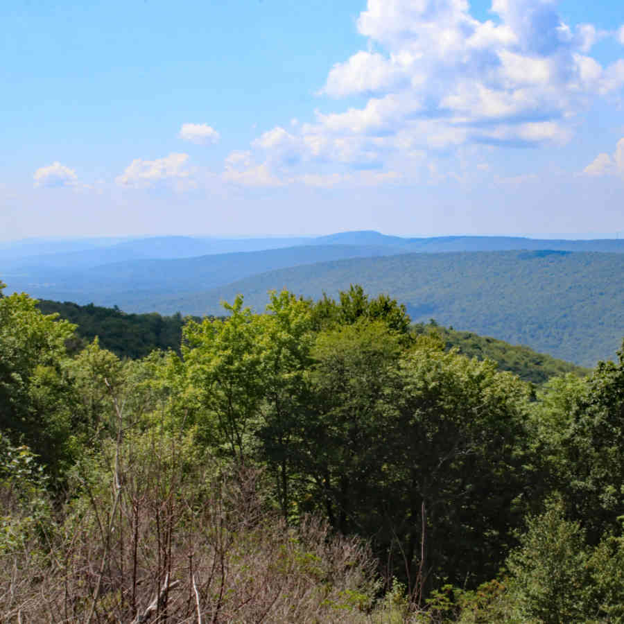
Centre Hall resident Scot Chambers learned to drive on the back roads in Rothrock State Forest – often stopping to enjoy the many vistas that Rothrock has to offer. Chambers recommends the vistas on Bear Gap Road, Wampler Road and North Meadows Road. North Meadows Road is now closed to vehicles, but you can hike to the vista from the western end.

The view from Bear Gap Road
- Photo by Mark Nale
Several vistas can be found on the western edge of Rothrock State Forest on Colerain Road. They offer views of Spruce Creek Valley. All of these vistas and others are clearly marked on the Rothrock State Forest map. Purple Lizard makes a more detailed map of the area.
A vista of a different kind -- One of the best views of State College and the Penn State campus can be found from the top floor of the Ford Building on campus. I was a guest speaker in a class there, and I found the 8th-floor view to be beautiful. Park in the nearby parking garage, walk a short distance to the Ford building, and ride an elevator to the top.


