Discover Happy Valley’s Best Vistas
Happy Valley has many beautiful vistas, with the Allegheny Front to the north and several ridges running through the area. Several can be found with an easy drive to a parking lot, whereas some require some rubbernecking while driving, and still others can only be viewed after a challenging hike. What follows is not a complete list, but rather a taste of what is available.
- Photo by Mark Nale
By Car
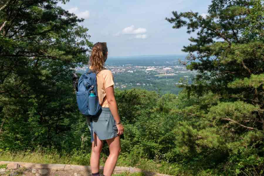
The easiest to locate—and most popular—vista in Happy Valley is Jo Hayes Vista, located at the top of Tussey Mountain on Route 26 south of State College, about two miles south of Pine Grove Mills. It overlooks Happy Valley farming country, with State College on the right and Bald Eagle Mountain and the Allegheny Front in the background. This vista is usually marked with a large brown and white state forest sign (Unfortunately the sign was recently stolen and a new one is being made).
Rothrock State Forest has several other vistas that can be accessed by car. One is a beautiful forest valley view from Bear Gap Road, which looks north into Centre County. Another is on Wampler Road and provides a view into the valleys of Detwiler Run and Standing Stone Creek in Huntingdon County. Wampler Road is very rugged and almost 4-wheel-drive-worthy, but the vista is only a short distance on Wampler from Bear Meadows Road.
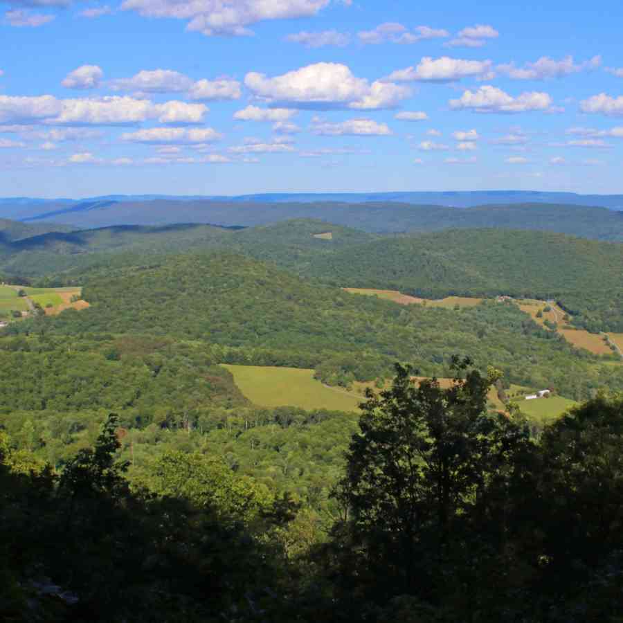
The view from Bear Gap Road.
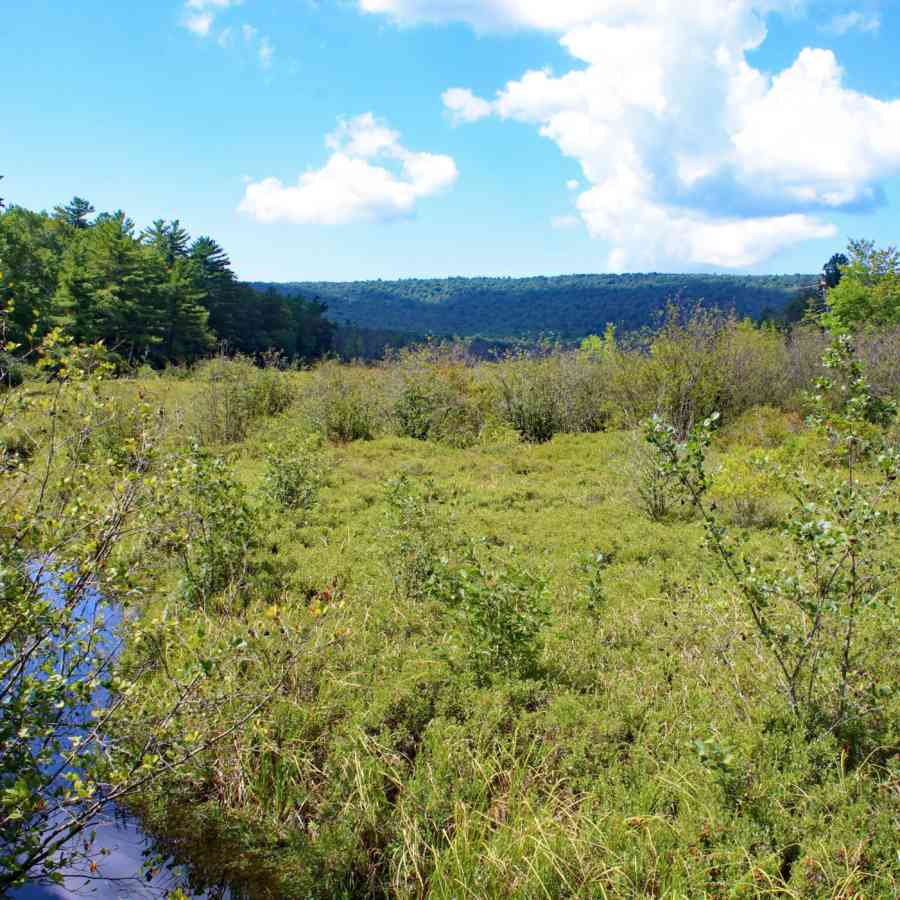
Another worthwhile Rothrock State Forest sight overlooks Bear Meadows Bog from Bear Meadows Road. Park at the large stone sign commemorating the 1966 recognition of Bear Meadows Natural Area as a National Natural Landmark. The best view here is during the winter.
Travelers on I-99 have excellent views of Bald Eagle Valley and the Allegheny Front.
Unfortunately, no one had the foresight to create an overlook with a public parking area. The best views can be had while traveling north on I-99 from the village of Bald Eagle (Exit 52) towards what is locally known as Skytop, where I-99 crosses the top of Bald Eagle Mountain. These views from I-99 North are some of my favorites.
This vista is best during the winter.
A very different type of vista can be found on the Sandy Ridge Trail on State Game Lands 33, northwest of Port Matilda. Traveling north, just as the 4-lane section of Route 322 ends, Sandy Ridge Trail (a gravel road) turns left (west). Approximately 3.3 miles from Rte. 322, the forest to the right opens and affords a look across the top of the Allegheny Plateau. It is not a view into a valley but rather shows the viewer the topography of the Allegheny Plateau.
One last by-car vista that I enjoy is the overlook at Bald Eagle State Park. There is ample parking and a stone wall bordering the overlook. This vista is located along Route 150, north of Milesburg, and just beyond where Route 26 goes over the causeway into Howard
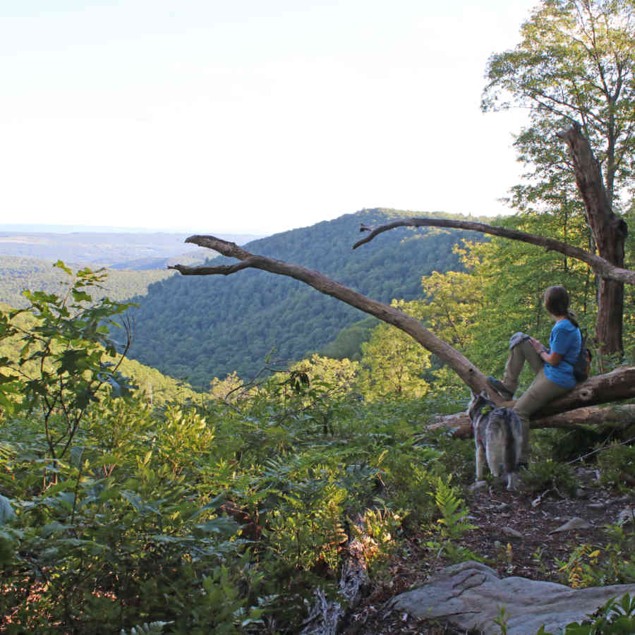
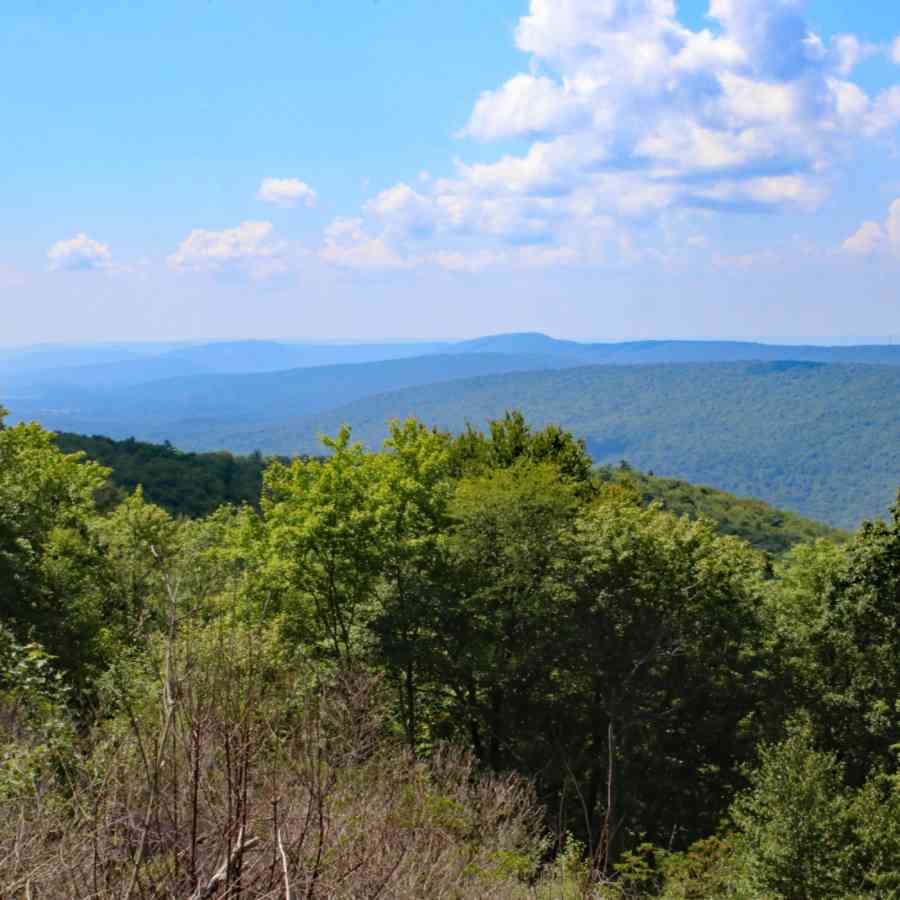
The eastern vista on Allegheny Front Trail gives hikers a view back along the Allegheny Front and into the Bald Eagle Valley. This vista is not marked on the Moshannon State Forest map but was one of our favorites.
- Photo by Mark Nale
Hiking
Five vistas are found along a very rugged 3.8-mile section of the Allegheny Front Trail (AFT), east of where it crosses Underwood Road in the Moshannon State Forest. Underwood Road is a gravel state forest road between Julian Pike (SR 3032), southeast of Black Moshannon State Park, and PA 504. The AFT crosses Underwood Road 1.2 miles from SR 3032. The trail crossing is marked by a brown AFT post with a yellow blaze. Starting from the west end, one of the best vistas is the last. It overlooks the Allegheny Front – looking back on the area just traveled on the AFT.
Another section of the AFT, this one north of Black Moshannon State Park, affords a view of the West Branch of the Susquehanna River below. Look carefully for the trail crossing just south of the bridge. This section is mostly flat, with two sections of rocky, steep trail.
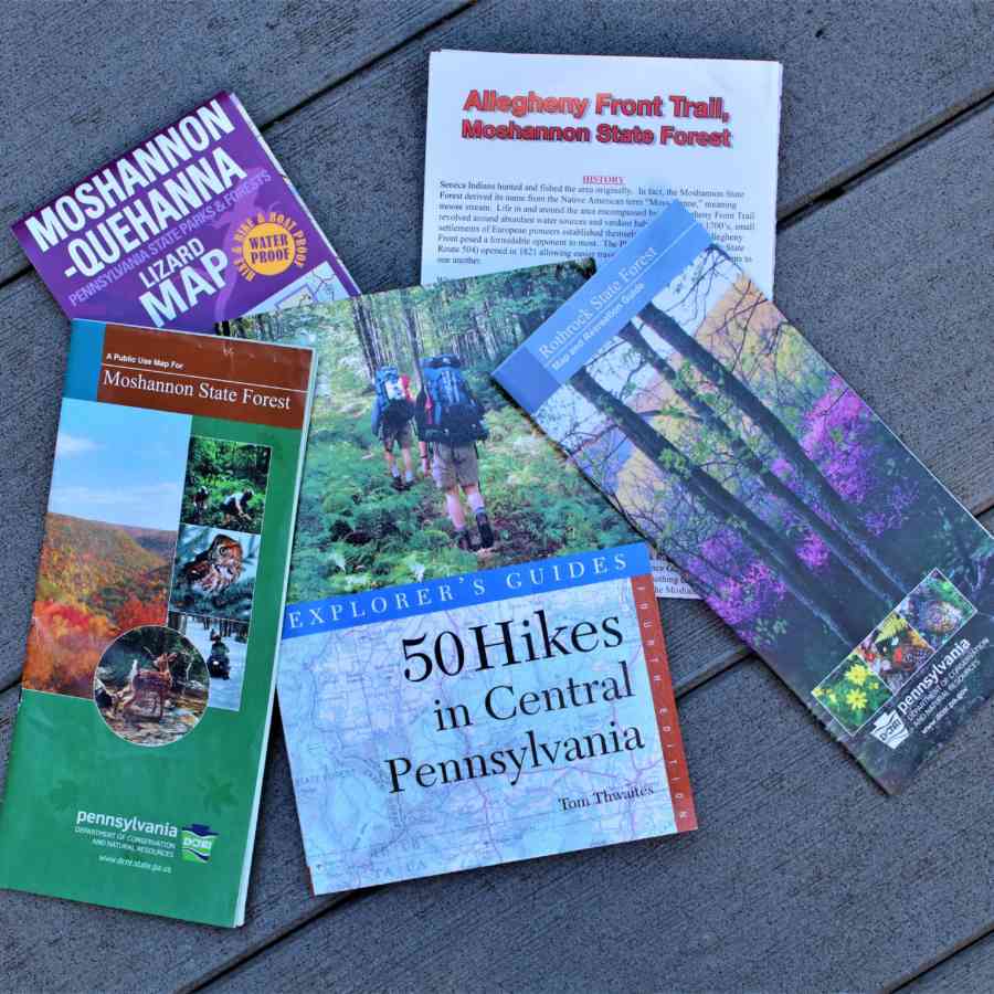
Helpful maps and guides for those seeking vistas.
- Photo by Mark Nale
Mount Nittany is a Happy Valley landmark, and seven vistas await people who hike to the top. The short walk to enjoy the Mike Lynch Overlook is approximately .7 of a mile in length on a white-blazed trail, but it climbs 650 feet in elevation. The hike is strenuous, but a beautiful view of the campus and Beaver Stadium rewards those who climb the mountain. The blue trail to the top is less strenuous, but longer. Once on top, gentle trails take you to six additional vistas – looking toward the Nittany Mall, Penns Valley, Boalsburg, and others. The address for the trailhead at the base of the mountain in Lemont is 500 Mount Nittany Road, Boalsburg 16827. Maps are usually available at the trailhead.
Several Rothrock State Forest vistas are available by taking the Mid State Trail east or west of the Jo Hayes Vista. Another excellent vista is found by hiking the now-closed North Meadows Road. One DCNR employee described it as the best view in Rothrock State Forest.
Writer’s note: Vistas change with each season, and even more so each year. Often the clear view that I observed in the summer is partly blocked by ever-growing vegetation a few years later, or maybe the vista received maintenance work and now provides an even better view. While I love fall foliage, most vistas provide the best views during the winter when the leaves have fallen from the trees.